Content Creation Work
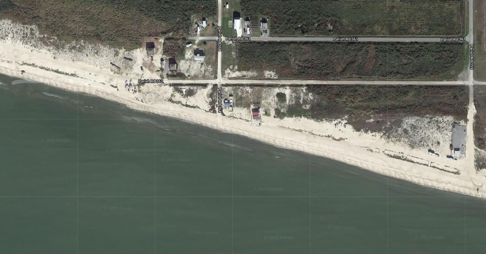
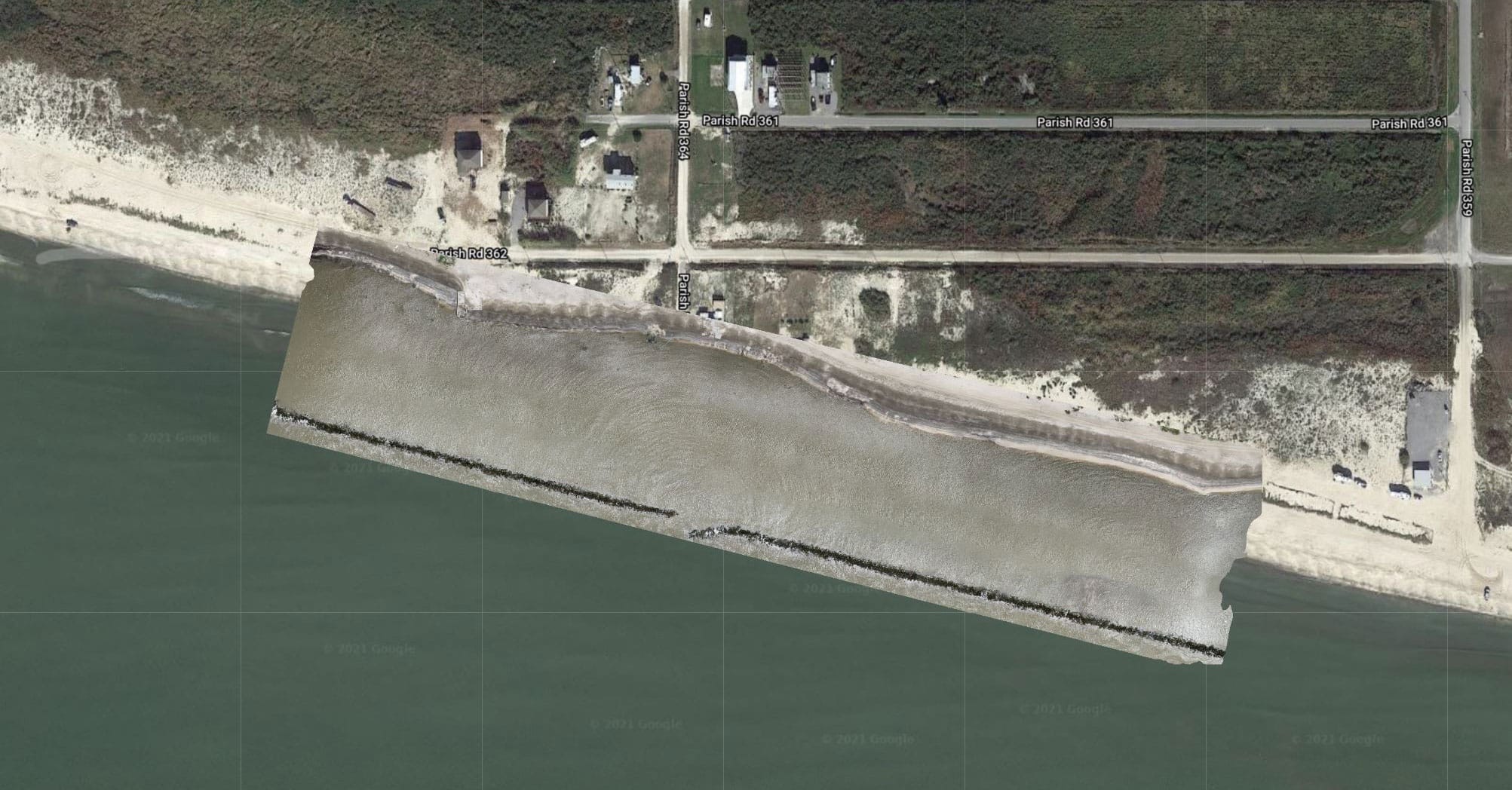
Drone Mapping Example
Our software and drone imagery generates high-resolution 2D maps and 3D models. Our aerial mapping experts can generate orthomosaic maps and 3D models, and allows us to use your maps to measure distance, area, elevation, and volume. High quality drone equipment, careful flight planning, commercial grade GPS ground control points can potentially be accurate to around 2-3cm horizontally and around 5-6cm vertically.


What our Clients Says

Lorem ipsum dolor sit amet, consectetur adipiscing elit. Ut elit tellus, luctus nec ullamcorper mattis, pulvinar dapibus leo.

Lorem ipsum dolor sit amet, consectetur adipiscing elit. Ut elit tellus, luctus nec ullamcorper mattis, pulvinar dapibus leo.

Lorem ipsum dolor sit amet, consectetur adipiscing elit. Ut elit tellus, luctus nec ullamcorper mattis, pulvinar dapibus leo.

Lorem ipsum dolor sit amet, consectetur adipiscing elit. Ut elit tellus, luctus nec ullamcorper mattis, pulvinar dapibus leo.
SMG Aerial uses cutting-edge technology to keep your business ahead.
Reduce Costs, Prevent Risk, Save Time.
Contact an experienced team of professionals to get more information on our Drone and Robotics Services.
