INDUSTRIAL SERVICES
INDUSTRIAL Drone & ROBOTIC Services
Technical VISUAL DATA FOR INDUSTRIAL INSPECTIONS
SMG Aerial provides drone and robotic solutions that produces valuable data. We use cutting-edge equipment and have the qualifications and compliance to work in all industries. Our team of experienced pilots has the right industrial experience and certifications to get the job done safely and increase efficiency. We service the entire United States using thermal, lidar and 3d mapping technology.
AERIAL DRONE SURVEYS AND INSPECTIONS
FLARE STACK INSPECTIONS
CONSTRUCTION PROGRESS
ADVANCED ROBOTICS SOLUTIONS
Confined Space Inspections
MAPPING
AERIAL PHOTOGRAPHY & VIDEOGRAPHY
PRESENTATION & OFFERING
Marine Construction & Hydrographic Survey
PTZ CaMERAS
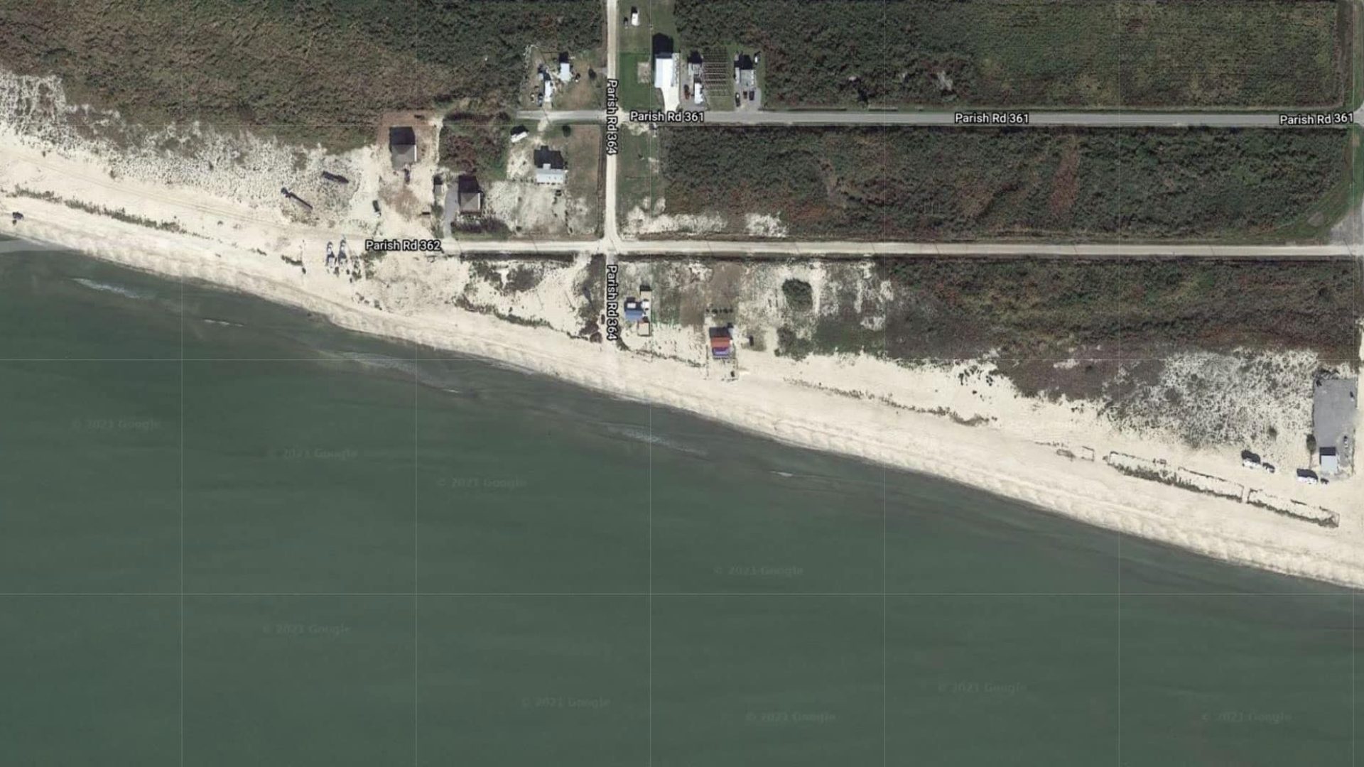
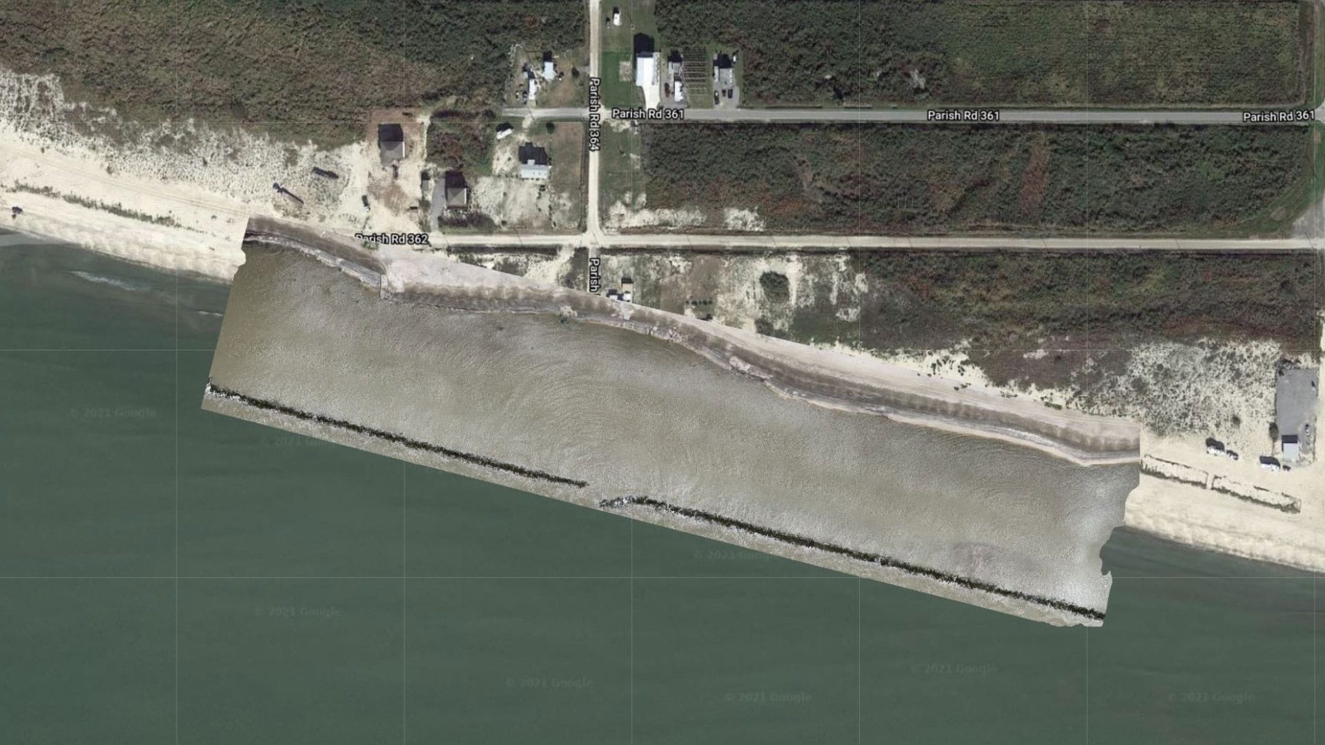
Drone Mapping Example
Our software and drone imagery generates high-resolution 2D maps and 3D models. Our aerial mapping experts can generate orthomosaic maps and 3D models, and allows us to use your maps to measure distance, area, elevation, and volume. High quality drone equipment, careful flight planning, commercial grade GPS ground control points can potentially be accurate to around 2-3cm horizontally and around 5-6cm vertically.


Dedicated Drone Pilot Service
Our dedicated drone pilot services ensure your project has consistent drone content creation. We assign your business a dedicated pilot to capture photos, video, and technical information if needed.
Drone Maintain
Best for standard content creation.-
Dedicated Drone Pilot
-
Photo and Video Editing
-
Two Site Visits A Month
-
High Resolution Photos and 4k Video
-
Detailed Monthly Report
-
Dedicated Storage With
Your Files Orginized -
Email Support Desk
To Request Filghts
Drone Manage
Best for Clients that wantto generate lots of content weekly visits.
-
Dedicated Drone Pilot
-
Photo and Video Editing
-
Four Site Visits A Month
-
High Resolution Photos and 4k Video
-
Detailed Monthly Report
-
Dedicated Storage With
Your Files Orginized -
Email Support Desk
To Request Filghts -
Custom Reports
-
Production Strategy
Drone Master
Best for Clients that wantto generate lots of content weekly visits.
-
Dedicated Drone Pilot
-
Photo and Video Editing
-
Four Site Visits A Month
-
High Resolution Photos and 4k Video
-
Mapping 3d Rendering and Orthomosaic Photos
-
FPV Footage Of Your
Site To Get A Person View -
Detailed Monthly Report
-
Dedicated Storage With
Your Files Orginized -
Custom Client Portal To
Access Data Quickly -
Email Support Desk
To Request Filghts -
Custom Reports
-
Production Strategy
SMG AERIAL 3d Models
We have the technology and software to ensure you get actionable insights.
Let our experienced pilots and techs create 2d and 3d models of your site.
What our Clients Says


